Home › Destinations › Ho Chi Minh Trail Region
Weather in Ho Chi Minh Trail Region
Historic wartime supply route through jungle mountains
—
Loading live weather...
About Ho Chi Minh Trail Region
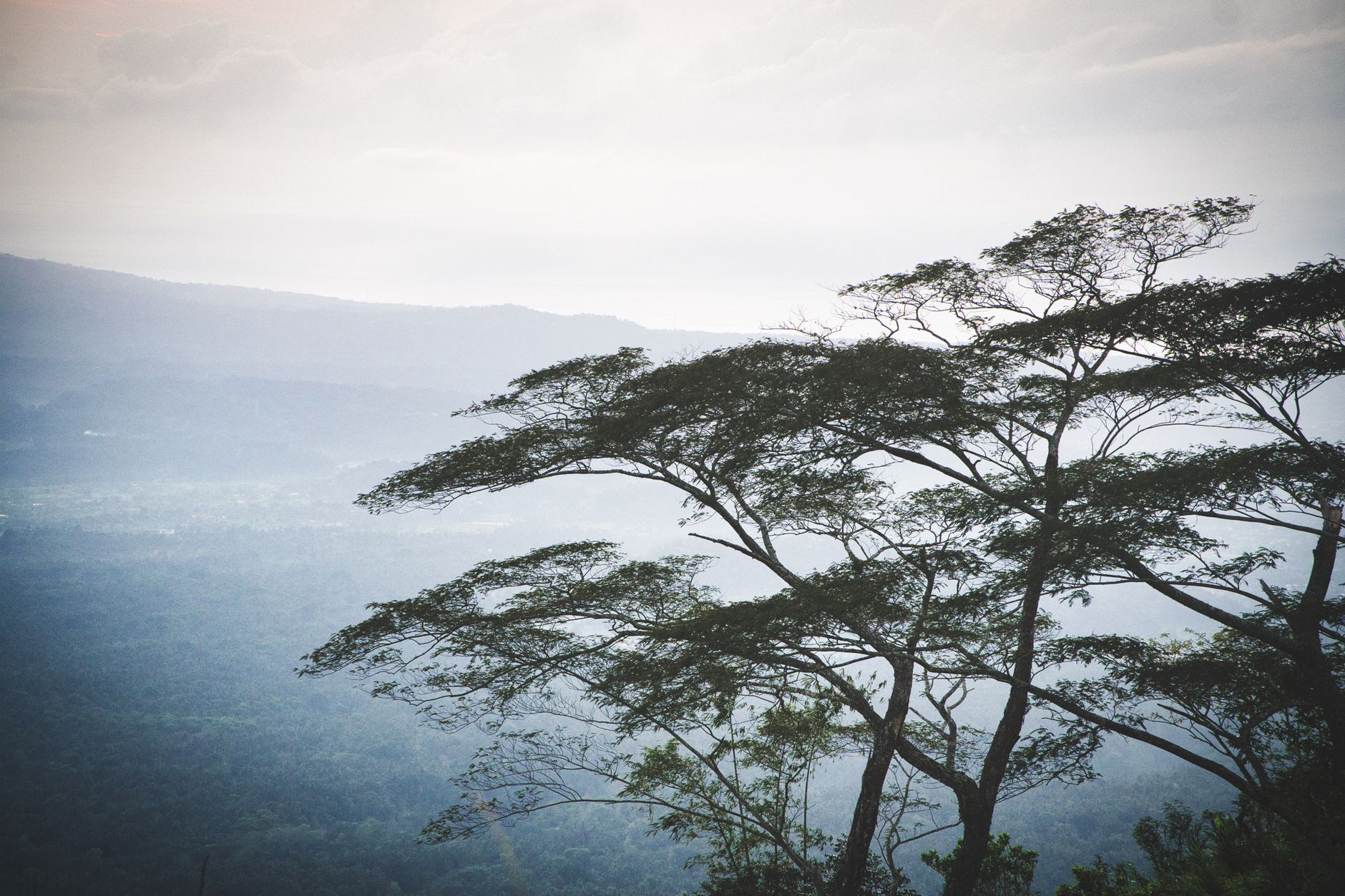
This legendary supply route wound through dense jungle mountains for 22,000 kilometers, connecting North Vietnam to southern battlefields during the American War. Overgrown sections of the trail still penetrate primary forest where bunkers and bomb craters testify to the conflict. Hiking remnants connects visitors to one of history's most significant military logistical achievements.
Best months to visit
January, February, March, November, December
Things to do in Ho Chi Minh Trail Region
Trek restored Ho Chi Minh Trail sections
Explore hidden jungle bunkers and bases
Visit war history museums in nearby towns
Trek to remote minority villages along trail
Photograph karst limestone mountain scenery
Camp in restored jungle camps with guides
Weather by month
Click any month for detailed weather information and travel tips.
Recommended
January
22C
Mild and comfortable, and mostly sunny skies.
Recommended
February
24C
Mild and comfortable, and mostly sunny skies.
Recommended
March
28C
Warm and pleasant, with occasional showers.
April
30C
Hot and humid, with some rainy days.
May
30C
Hot and humid, with frequent heavy rain.
June
29C
Warm and pleasant, with frequent heavy rain.
July
27C
Warm and pleasant, with frequent heavy rain.
August
27C
Warm and pleasant, with frequent heavy rain.
September
27C
Warm and pleasant, with frequent heavy rain.
October
26C
Warm and pleasant, with regular rainfall.
Recommended
November
24C
Mild and comfortable, with some rainy days.
Recommended
December
21C
Mild and comfortable, with occasional showers.
The Ho Chi Minh Trail region threads through the forested mountains along Vietnam's border with Laos, the remnants of the legendary supply network used during the Vietnam War to move troops and materiel south under constant bombardment. Today it's a remote, scenic route for adventurous travellers on motorbikes, dotted with war memorials, former military bases and small ethnic minority villages far from the usual tourist trail.
Best areas to stay in Ho Chi Minh Trail Region
Khe Sanh Area
A former US military base near the Laos border, now home to a war museum and memorial sites.
Phong Nha Area
A national park region with major cave systems, often combined with trail-route itineraries through central Vietnam.
A Luoi Valley
A remote valley along the trail route, with war remnants and ethnic minority villages.
Vinh Moc Tunnels (detour)
A coastal tunnel complex used by villagers to shelter from bombing, a common detour from the trail route.
Getting to Ho Chi Minh Trail Region
✈
Flights
Fly into Hanoi or Da Nang, then join the Ho Chi Minh Highway route by motorbike, car or organised tour from central Vietnam.
⏱
From London
~12-13 hours direct London to Hanoi, plus a multi-day overland journey to cover sections of the trail route.
🚕
Getting around
Motorbike is the most popular way to travel the route; hired cars with drivers and organised tour groups are alternatives for those less comfortable on two wheels.
Frequently asked questions
Can I still travel the Ho Chi Minh Trail today?
Sections of the original network are now part of modern roads like the Ho Chi Minh Highway (Truong Son Road), which can be travelled by motorbike or car, particularly popular with riders doing multi-day loops through central Vietnam.
What war-related sites can I visit along the route?
Memorials, cemeteries and former bases near towns like Khe Sanh and the Vinh Moc tunnels are accessible from the central coast and connect to the trail's history.
Is it safe to travel this route independently?
Roads are generally safe to travel, though remote stretches have limited services, so travelling with a guide or experienced group, especially on motorbikes, is recommended for those unfamiliar with the terrain.
What is the scenery like along the trail?
Dense forested mountains, river crossings and small villages of ethnic minority communities such as the Bru-Van Kieu, offering a very different side of Vietnam from the coast.
When is the best time to travel this route?
The dry season from roughly February to August offers the safest road conditions, avoiding the heavy rains and landslide risk of the central Vietnam wet season.
Traveler reviews
★★★★★
Did a 3-day motorbike loop along the Truong Son route through Quang Tri and Quang Binh - empty roads, incredible mountain scenery and the war history at Khe Sanh hit differently after riding through the terrain it happened in.
Liam P. · March 2024
★★★★☆
Visited Vinh Moc Tunnels and some of the smaller memorial sites near the old trail route - a sobering but important detour from the usual coastal itinerary.
Hoa N. · April 2023
★★★★★
One of the best motorbike rides I've done anywhere - remote villages, river crossings, and barely another foreign tourist in sight for days.
Greg T. · February 2024
Ready to visit Ho Chi Minh Trail Region?
Find the best hotels and experiences for your trip.
More dream destinations